On My Way Today

On My Way Today

I’ve been saying how the weather has turned cold and wintry recently. I though that, today, I’d show you.

And so, I took a couple of snaps to and from Helensburgh today. Also, because the scenery is lovely 😉

Here’s a view looking down Loch Fyne, from Lochgilphead. You can see the Isle of Arran in the distance. #nofilter20131121-150959.jpg

This picture is of the snow peaked Arrochar Alps, just peeking out behind the hill, as you leave Inveraray:20131121-151109.jpg

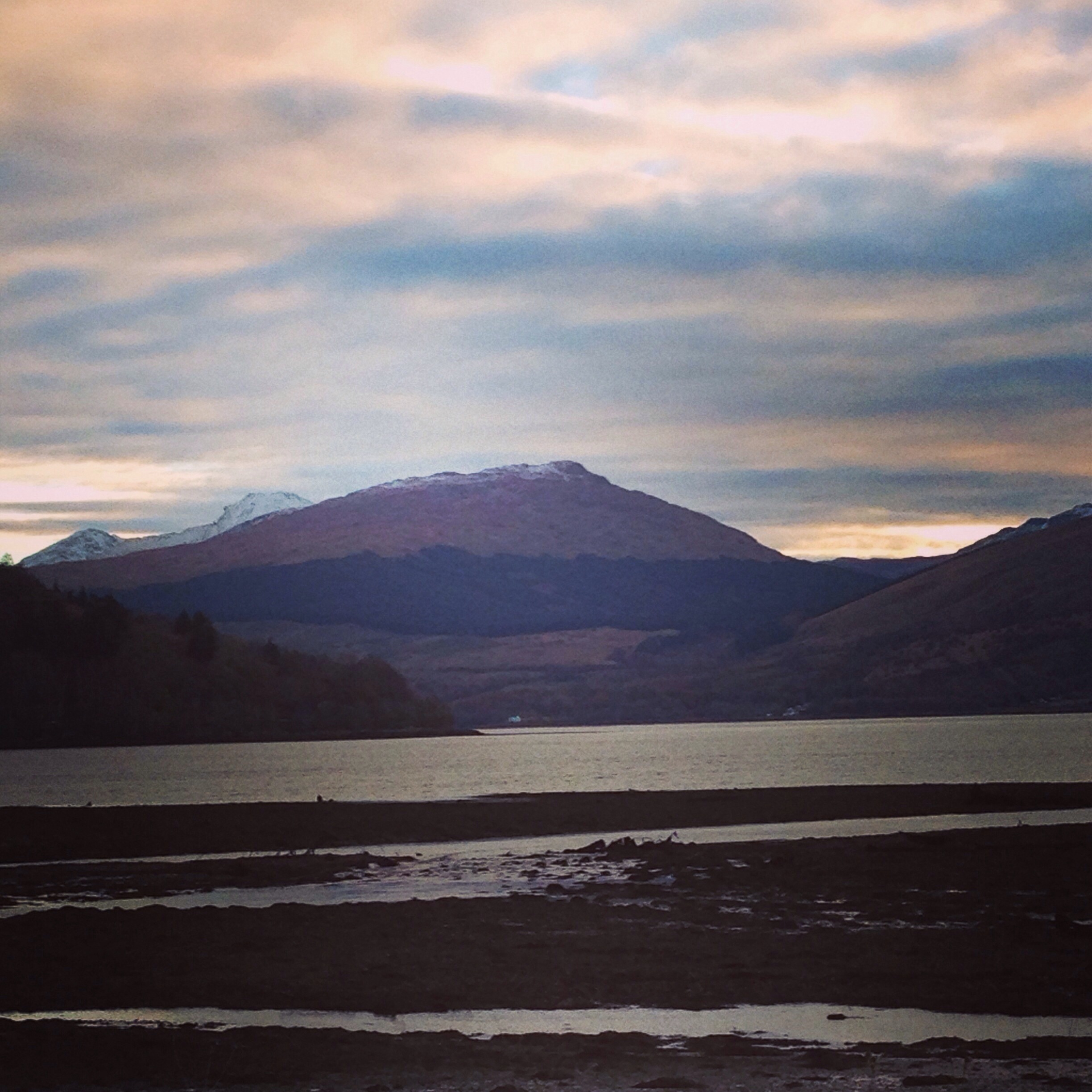
And here’s Inveraray itself:20131121-151153.jpg

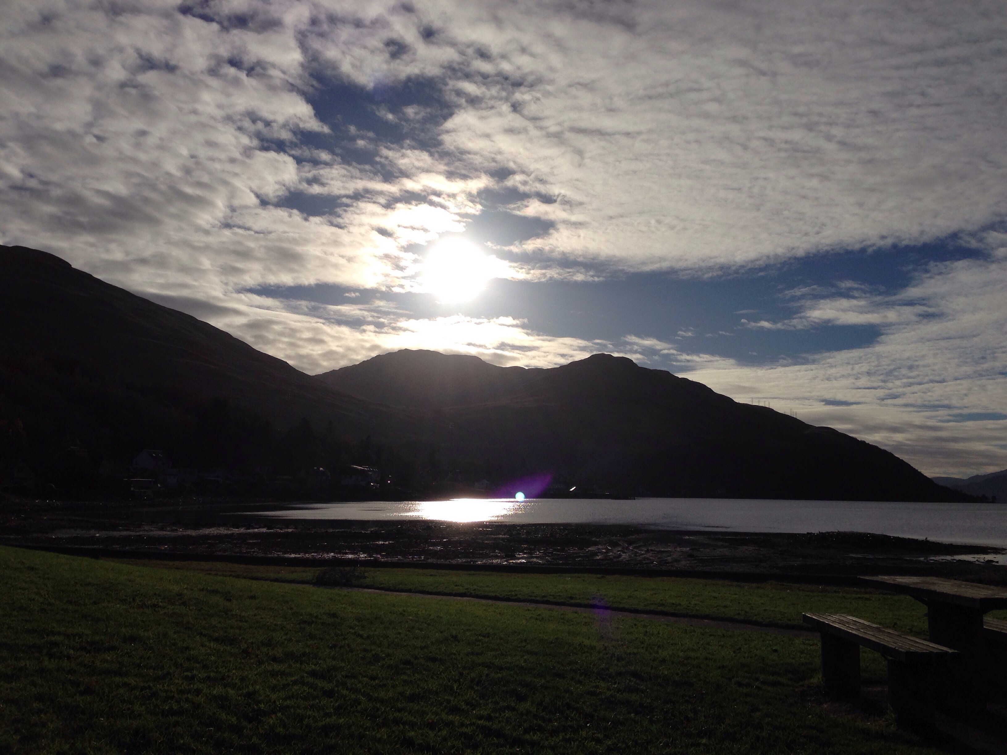
These next two pics are of Loch Long, from Arrochar at the head of the Loch:20131121-151237.jpg

20131121-151338.jpg

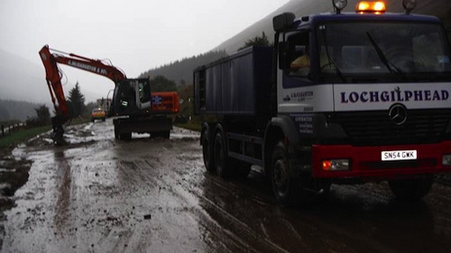
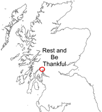
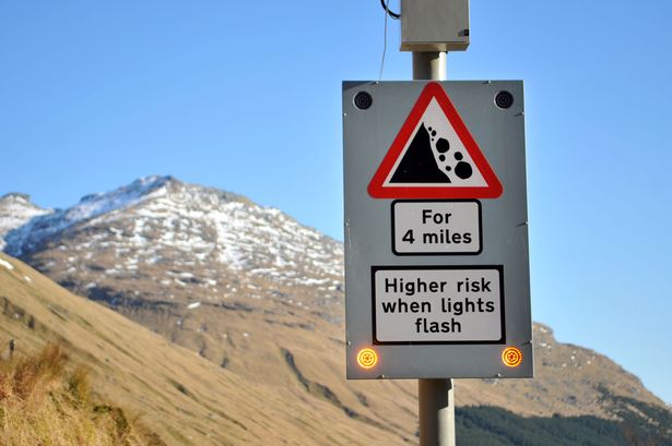
And this final pic is of the helicopter taking equipment to the guys at the Rest and Be Thankful, who are still working to reduce the landslips. The traffic was stopped both ways to allow the helicopter to fly right in, in front of me 🙂20131121-151452.jpgSo, after my four hours in the car, I’m looking forward  to hammering the treadmill and rower tonight.

Then, it’s time to pack for another weekend away, and for a glass of vino 😉

What was  your commute like today?

Rural Living: Landslips

Rural Living: Landslips

As you’ll have seen from yesterday’s post, we had some heavy rain yesterday. I know because I ran in it 😉

running-in-the-rain

And so, as a result of all this rain, we have had a landslip. Actually, we’ve had three landslips today: two on the A83 at Glen Kinglas and Glen Croe at the Rest and Be Thankful, and a third at Tighnabruaich. The A83 is the main road into (and out of) Argyll, and this is the eighth landslip closure in six years, since we moved to Argyll.

Here’s the clear-up job today:

10071001676_f8524014d3

And just to give you some perspective, here’s a wee map.The dark blue line is the affected part of the road:

Ardgartan_Iron_Distance_Map_BikeRABT-Location

The road has just been re-opened for now, but as the forecast is for more rain, I’m obviously a bit concerned about getting to Glasgow tomorrow night for the Great Scottish Run weekend. 😦

The alternative route is a sixty mile detour, also marked on the map, and it adds about an hour and a half onto the two hour journey.

It’s just one of the joys of living in a rural area, on the west coast of Scotland!

Here’s the BBC coverage if you’re interested.

I have just one thing that I puzzle over. This is the warning sign at The Rest:

14517720_The Rest and Be Thankful military road is opened as an alternative to the main A83 which is-1737435

When the lights flash, we’re advised to proceed with caution. Does that mean I should drive slowly, and keep an eye on the hillside; or drive fast to minimise the chances of being swept away? 😮

Wish me luck in getting through to Glasgow tomorrow!