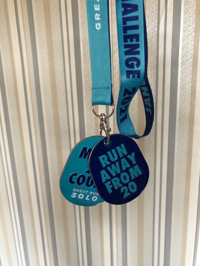
On Saturday, 22nd May, Tony and I joined business leaders from different industries all over the UK to walk at least 30k. The aim of #TheGreatPostWalkdownWalk was to raise money and awareness and to support emerging leadership talent through the new Ritrovo app (find out more at http://www.myritrivo.com) which will give people the opportunity to hear leadership stories and benefit from mentoring from across many industries.
My plan was to follow the Kintyre Way from Clachan to Tarbert with a couple of short diversions to make up the mileage. We had planned to do 26.2 miles as achieving that marathon distance would be a huge personal achievement- and to help highlight that you can always set audacious goals and achieve them.
Tony and I set off at 5.30am, and we were ready to set off from Clachan at 6am.

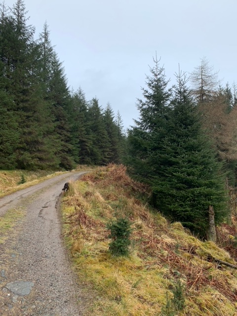
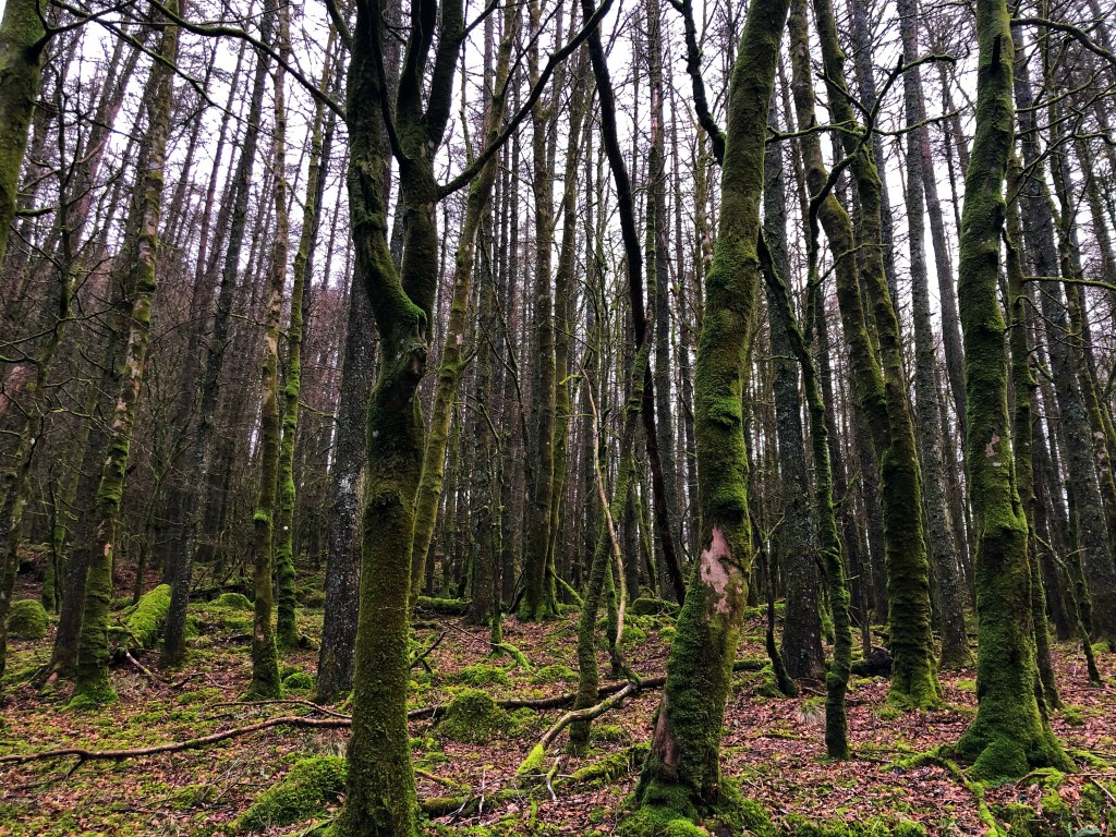
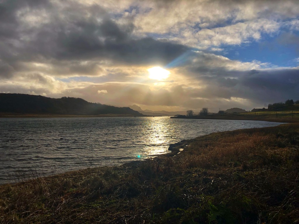
Although it was cold and very windy, the sun certainly made a big difference to my motivation! The sun was still low as we set off uphill and through woodland filled with bluebells.


Only a month ago, the underfoot conditions for this initial 10 mile section were good, but after some rain over the past two weeks, that had all changed. The ground was soft which was kind on the joints, but hard going at times as it was muddy, boggy and very wet. My feet were soaked before we reached the first mile marker!
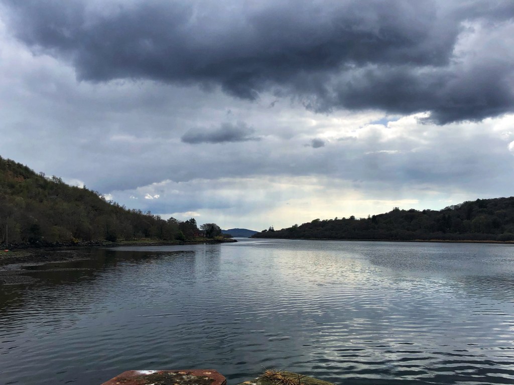
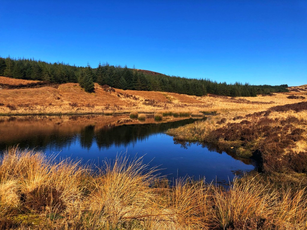
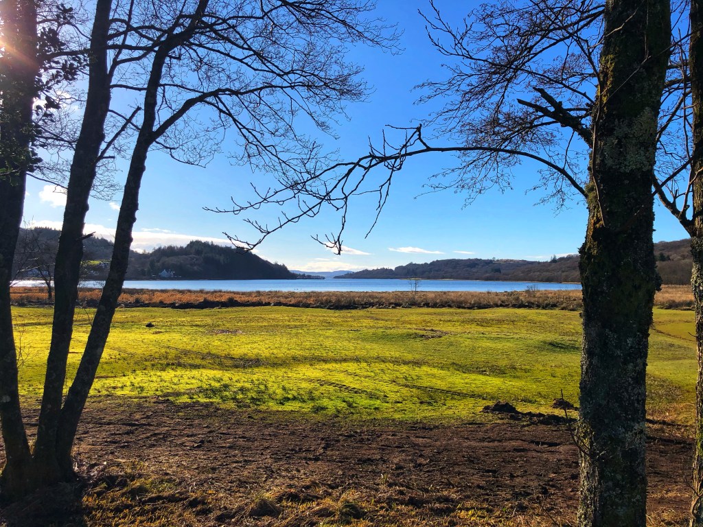
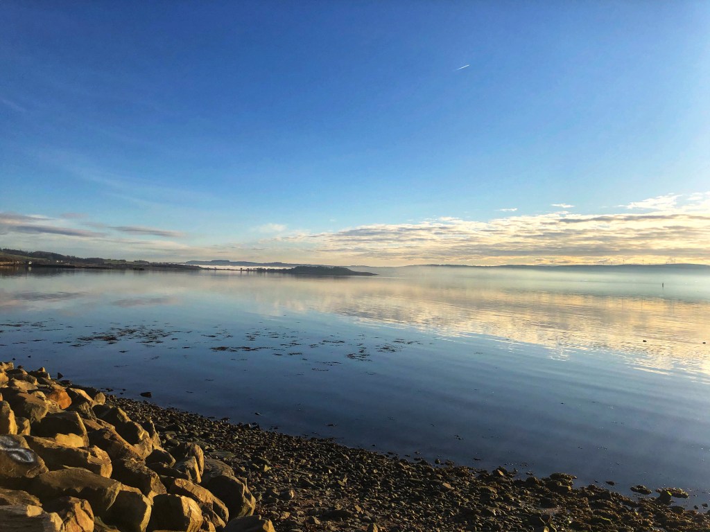
The first milestone was reaching Loch Ciaran, which is stunning. This photo doesn’t do it justice, but it is one of my favourite spots. I thought about all of the Kierans and Kieras out there as we passed it:

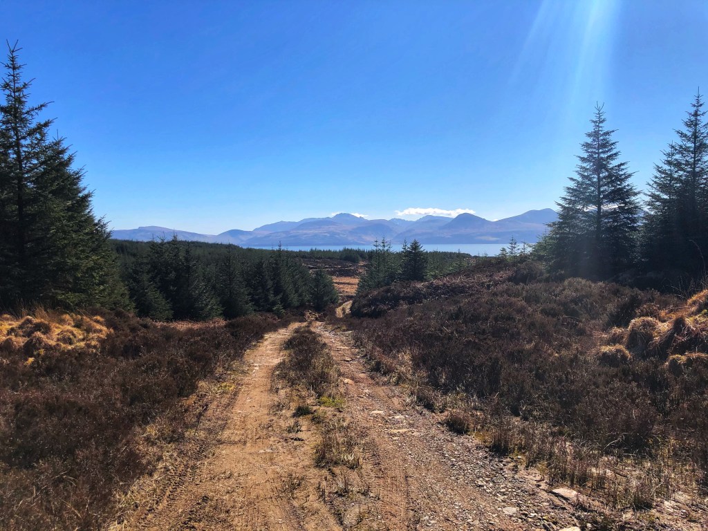
Next up, we followed the rough rocky track uphill and down, meandering across country, but keeping an eye out for the sharp left turn that I know is easy to miss. We spotted it easily today however, as the marker was visible, having the heather trimmed back for the Kintyre Way Ultra a fortnight ago.

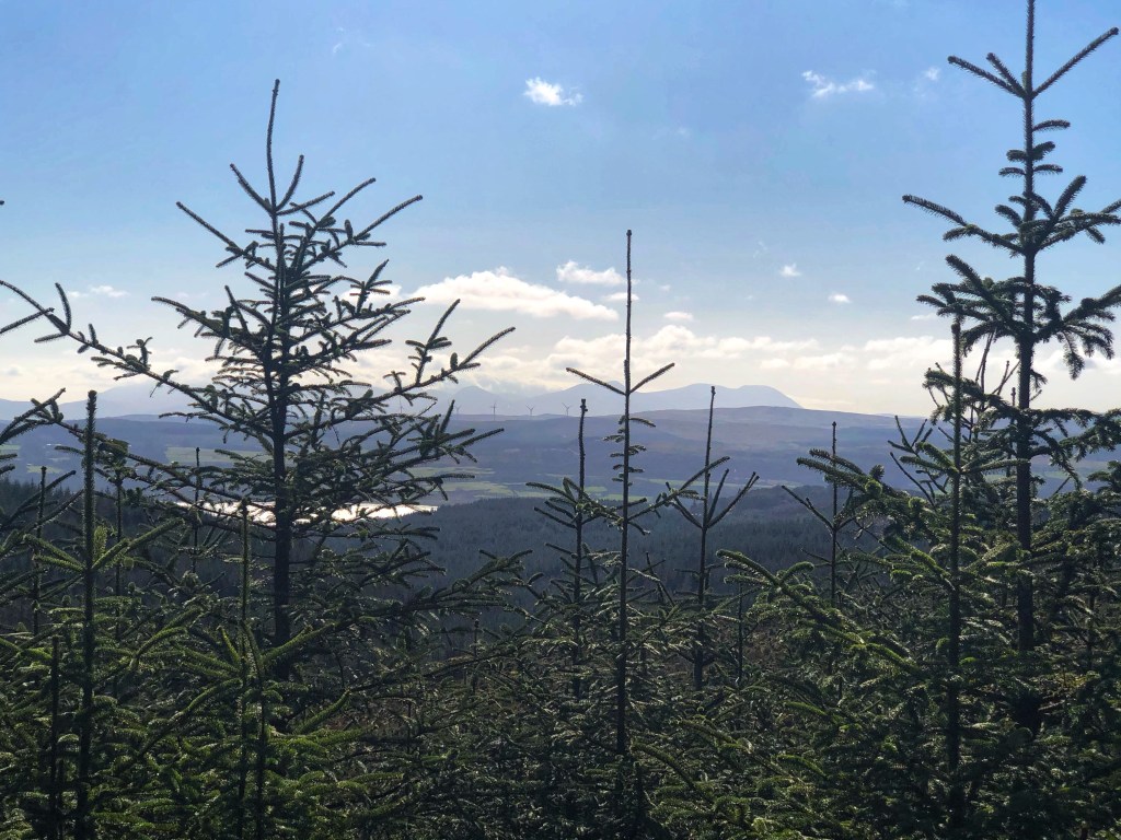
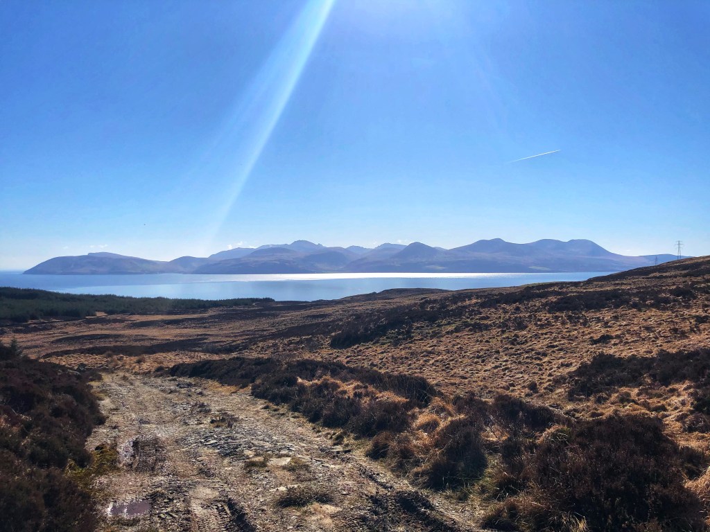
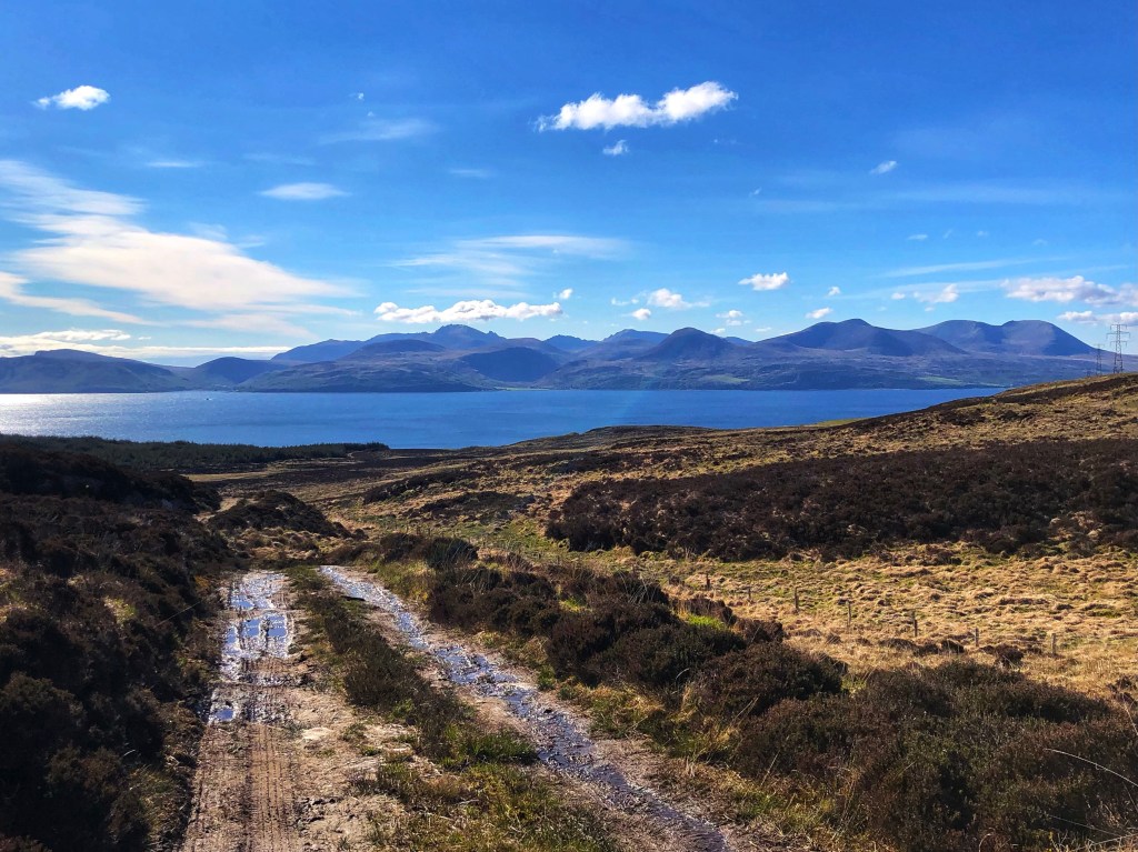
We continued climbing across heathland until we got to Lochan Fraoich, which is a really special spot, affording a first real glimpse back across to the Paps of Jura to the west, and also over to the Isle of Arran in the East. It shows the beauty of that spot when you can see both, and it was the perfect day for it.


Next up is a long, boggy section across open moorland where the wind was a challenge. The walking is quite hard going with a narrow path and very little dry ground at times, but that’s all part of the challenge. We met a man who was sitting on a hillock, where he’d been since 4.30am to watch the sunrise over Arran. It was also a joy to hear the cuckoos, and to see the sheep, and the deer.
Before we knew it, we’d reached the kissing gate and the small bridge that makes a return to heathland, all uphill for a while, but I knew it was worth the climb, as at the top we were rewarded with absolutely stunning views over to Arran.
The trail dips down along a rough track back to the main road, which took us past Claonaig ferry terminal, where the MV Catriona was just in:

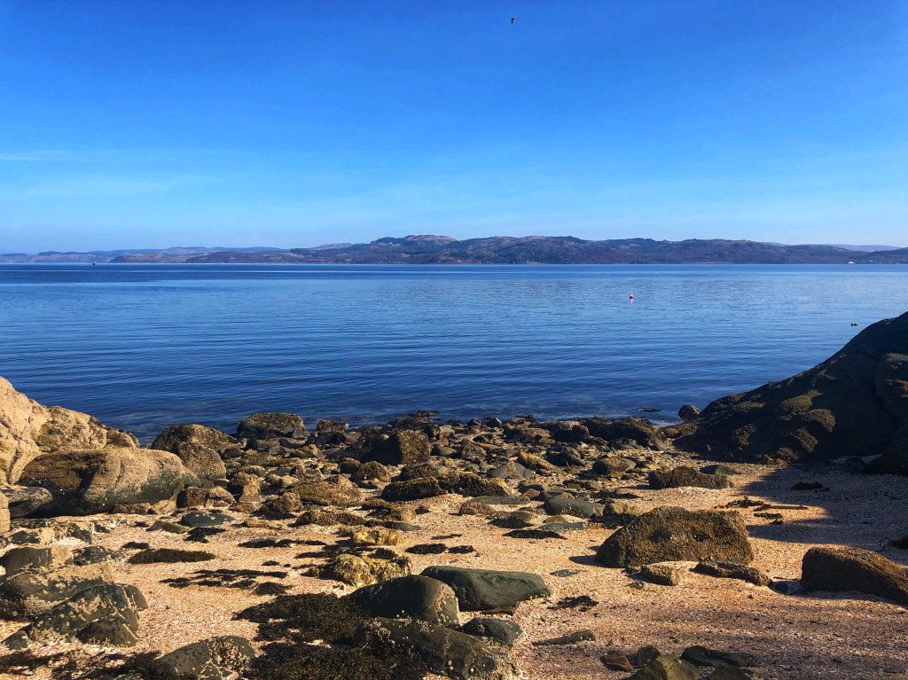
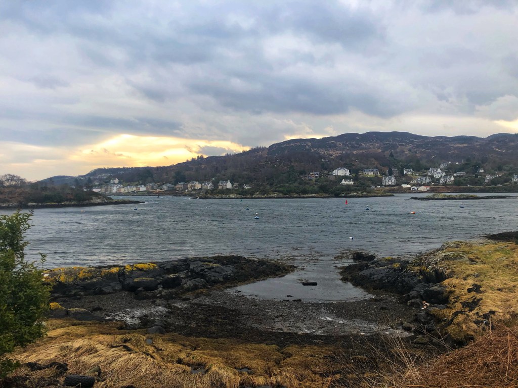
We continued another two miles along the single track road, taking in the beautiful, rugged coastline which later revealed the golden beach as we approached Skipness.


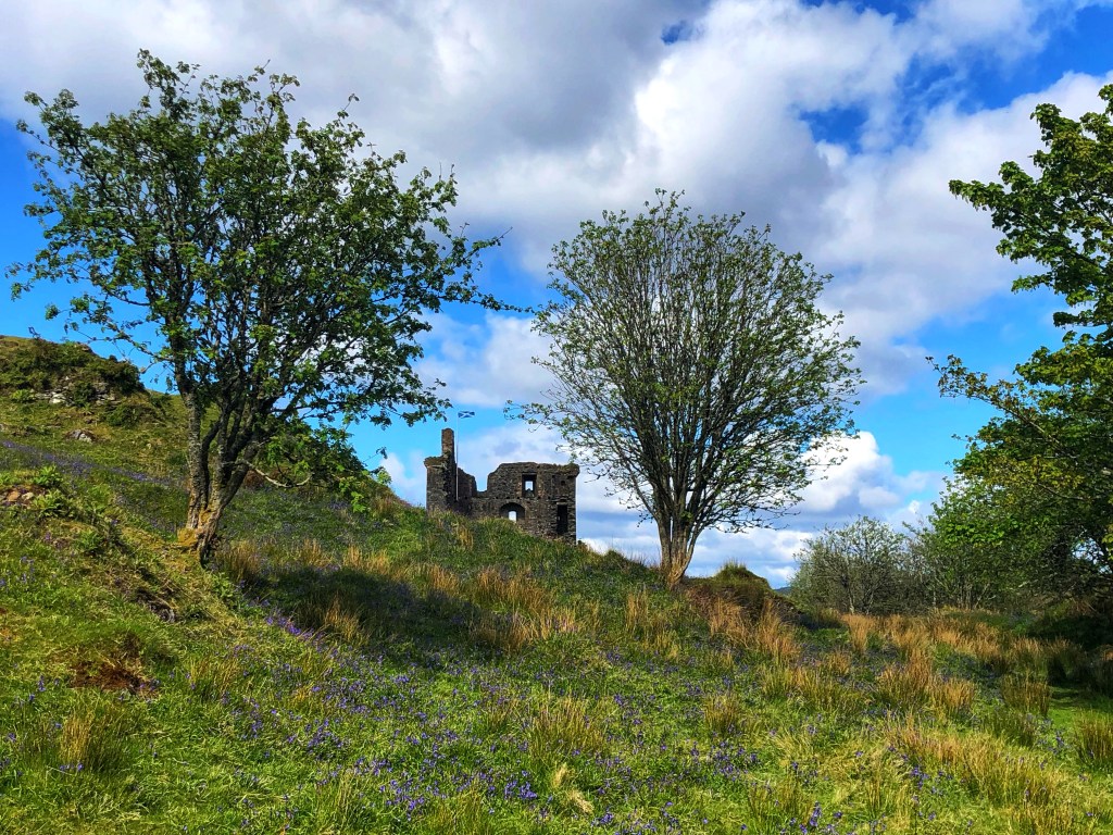
We walked through the village, and passed the start of the next section of the Kintyre Way, to add on some extra mileage. We made our way along the road to Skipness Castle, passing some gorgeous wild garlic, with the scent heavy in the air.

We soon reached the stunning Skipness Castle which is a favourite spot for us. Nearby, there is Skipness smokehouse just behind it which sells amazing smoked salmon and mackerel, and Skipness Seafood Cabin is also there, but unfortunately isn’t yet reopened. If you are ever in Kintyre, it is absolutely worth a visit- I can highly recommend sitting outside in the sun with local scallops and a glass of white wine…


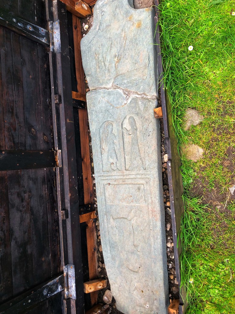
Anyway, we didn’t have time to explore the castle, or to climb up to its parapets to see the views to Arran, and instead we walked down to St Brendan’s Chapel to have a look at some of the ancient gravestones.

After having our sandwiches as we walked, we headed back into Skipness village to pick up the trail back to Tarbert. Be warned, the first mile out of Skipness is a long uphill climb and can be quite a challenge after the flat of the road into Skipness! I had forgotten quite how much of this section is on a rough track, with lots of water by the side of the trail, with tinkling waterfalls – I would loved to have dipped my feet into them after all of the walking!
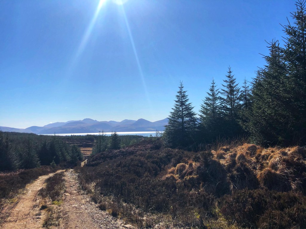
As we reached the next section which is open fields, we sneaked a peak back to Arran as a reminder of how far we had already come:

The next section is a mix of heathland and open moorland, where the wind remained quite challenging. The underfoot conditions were nowhere near as bad as the first half, but it was very muddy in parts, especially on what should have been a grassy path.
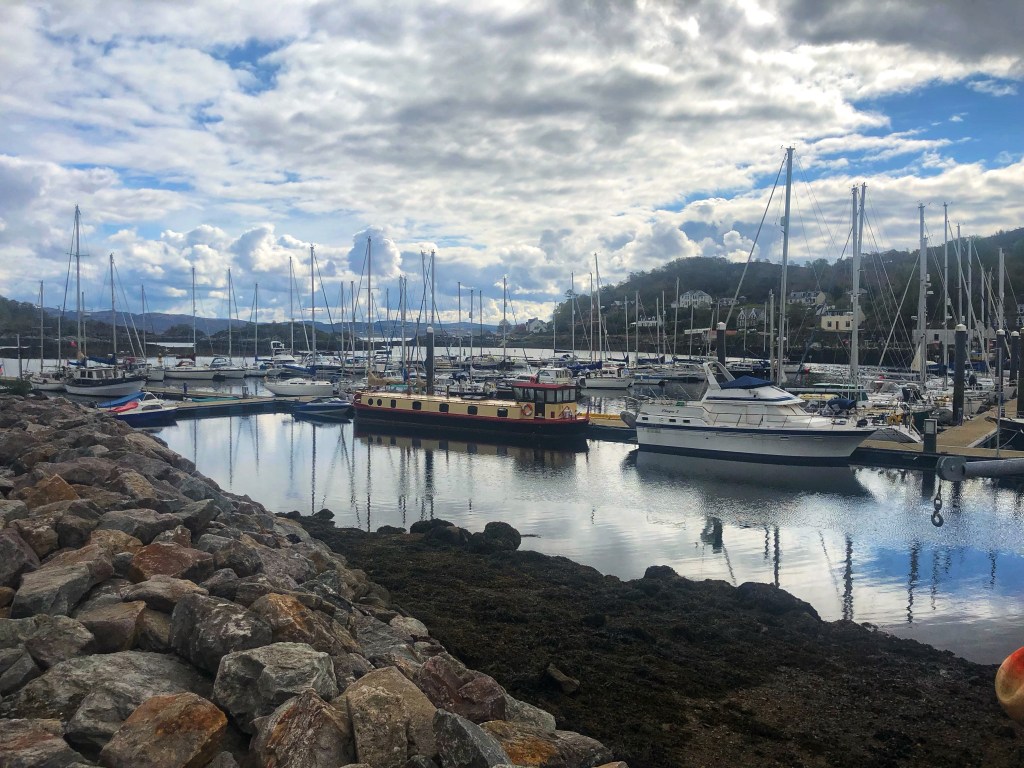
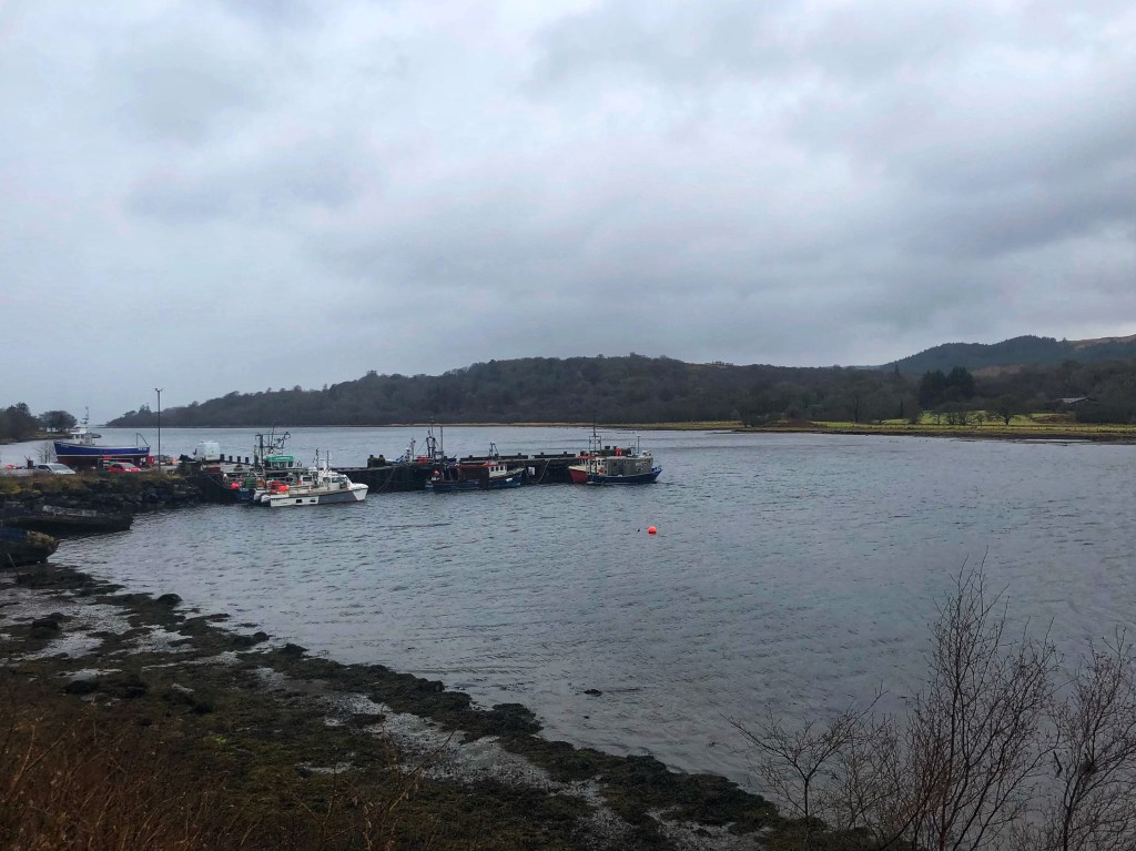
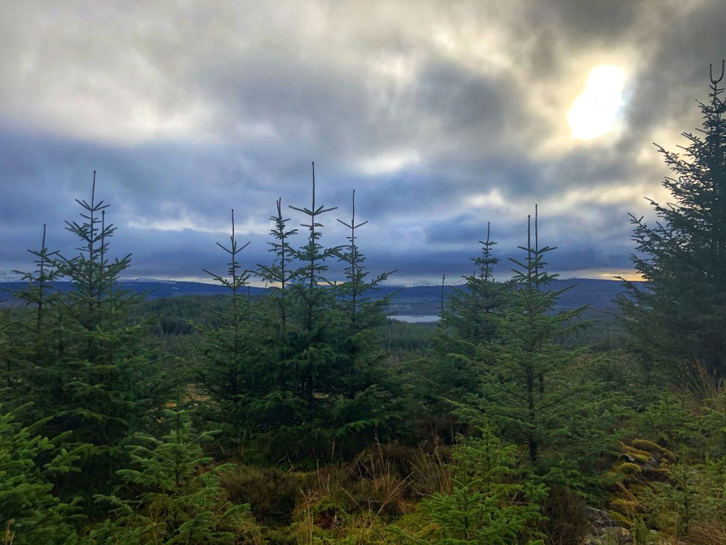
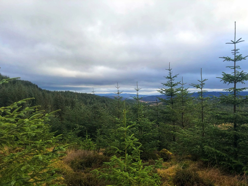
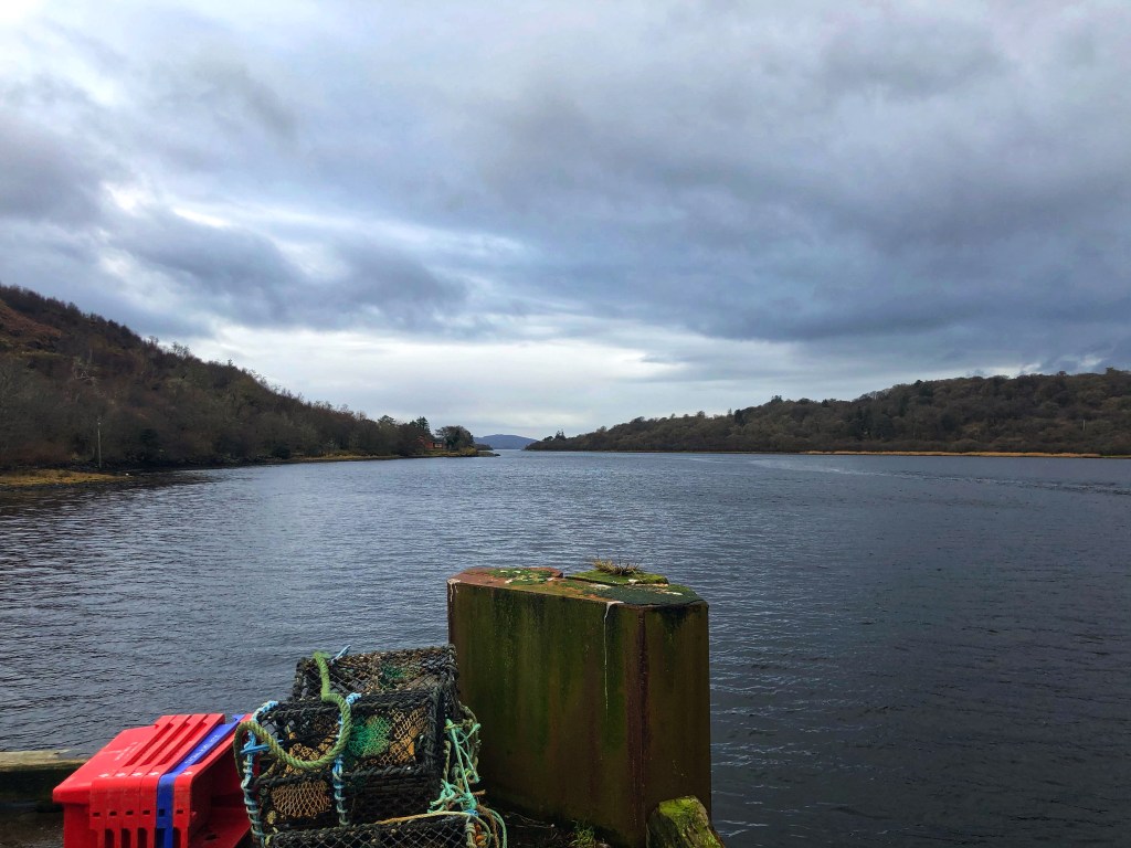
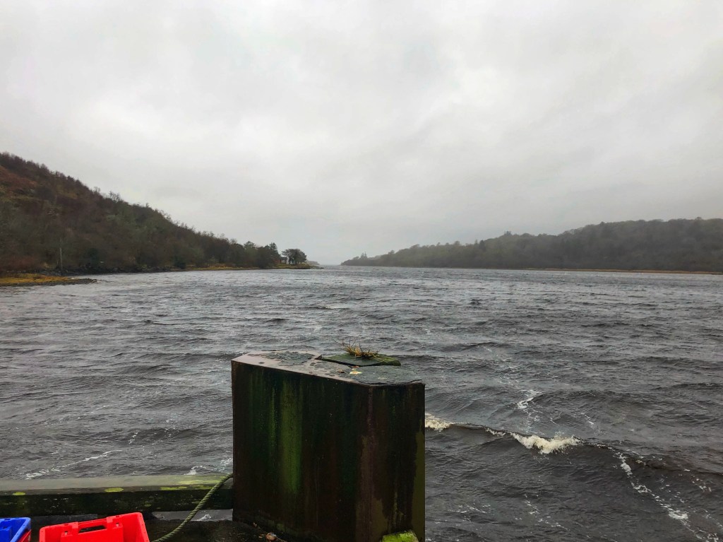
Eventually we reached the forestry road, and I knew we were only about four miles from Tarbert. The good thing about this section is that the views of Loch Fyne get closer, and we could watch the fishing boats and the lochs out there. We could also see one of our favourite places to visit and stay, Portavadie Marina, and I could really do with an overnight stay and a spa day very soon!

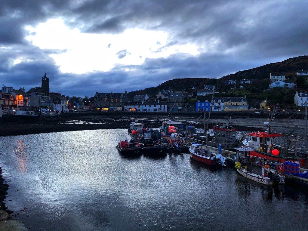
Before we knew it, we had reached the cut off for Tarbert, which would take us down to the village. The sight of the Cairn was definitely cheering!

My legs were feeling really tired at this point, which was about 23 miles in and we took the descent down very carefully indeed. Tired legs plus steep sections is not a good combination! Anyway, we kept going, and finally reached our destination: Tarbert Castle. We didn’t stop to take many photos, but it’s a beautiful area to explore, with the castle, the surrounding areas of archeological significance and the amazing woodland walk filled with secret exhibits. To know more, you will have to visit!
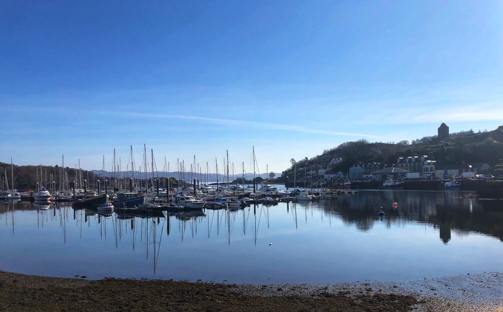
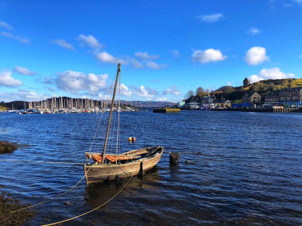
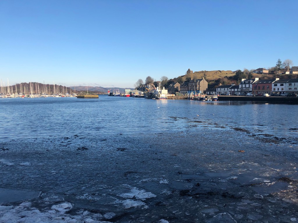
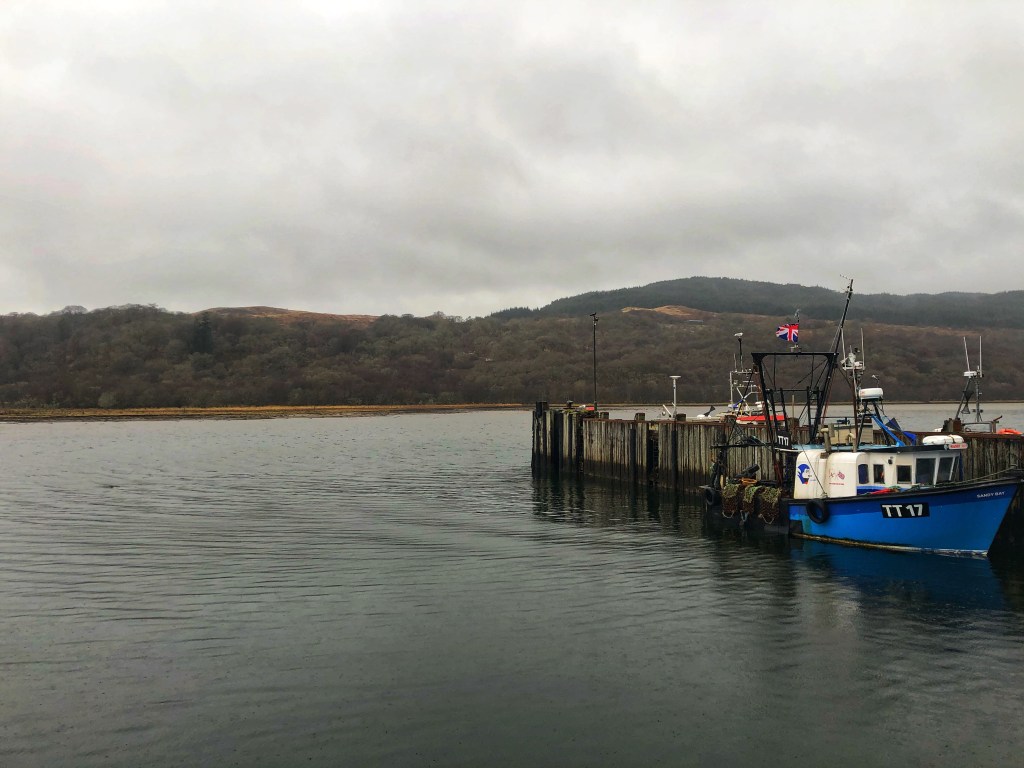
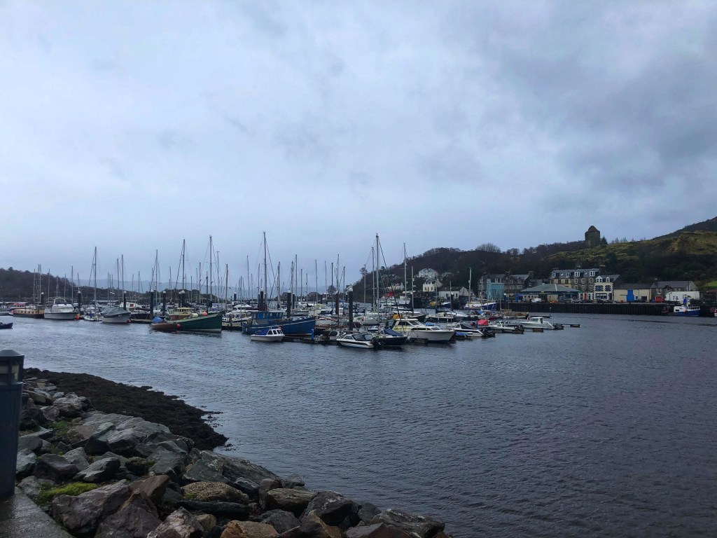
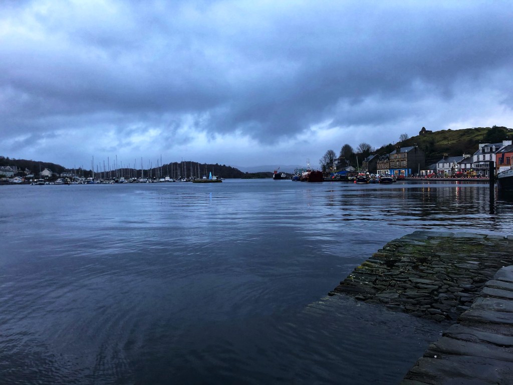
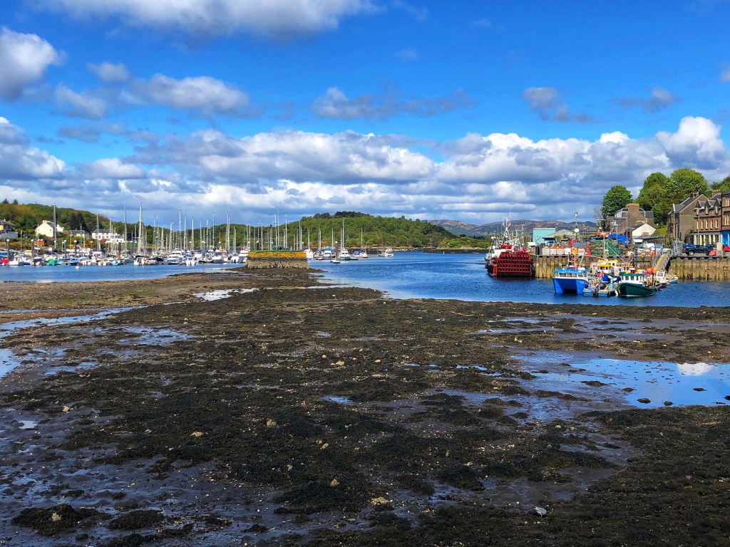
As we descended into the village we still had a mile and a half to do, so we took a walk around the harbour just to reach our goal. The tide was out (the harbour always looks bonny with the tide in) and the thought of a sit down kept us going!
Our first stop was to celebrate: we finished our 26.2 miles right outside the Corner House pub! Woo hoo, we did it! And of course, we just had to celebrate with a beer, and it was our first visit to the Corner House since pubs were allowed to reopen a week or so ago. It was just what we needed to celebrate!

Our stats:
Distance: 26.38m
Elevation: 3,268ft
Time: 10h 17m 28s
And here is the route:

This was a wonderful experience, with participants all over the UK connecting and sharing their experiences across the weekend, sharing photos, motivation and celebratory pics when they were done! It formed a really positive group of professionals who truly embody the principles behind the project- working together, offering support and motivation, keeping each other moving forward. It was a pleasure and privilege to be part of the group!
When’s the next one? ☺️